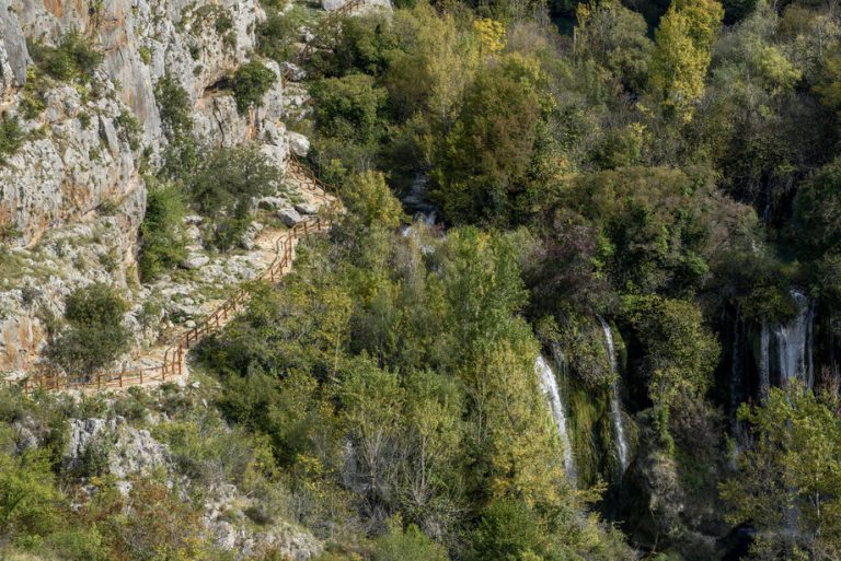
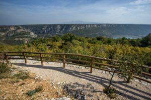
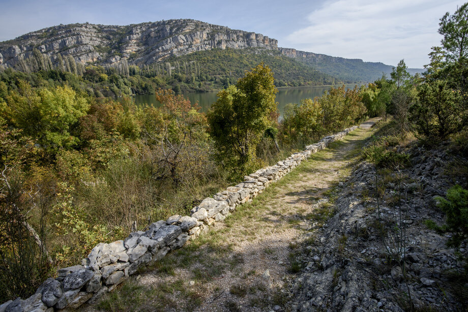
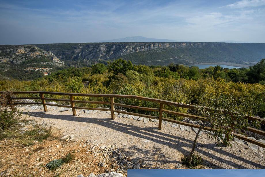
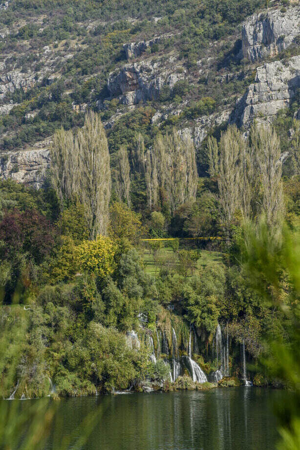
The view of the entire Roški slap waterfall is most beautiful from two hills. The hill on the left bank has a path called Niz ploču, while on the right bank of the river the path runs from Laškovica to Žižići. The traveler sees green and tall poplars, and hears the pleasant song of living water. Here, at the end of the travertine barrier, the Roški slap waterfall falls fifteen meters in a broad fan into Visovac Lake. This is what can be seen from these paths. Putnik gleda zelenilo i visoke jablane, a čuje ugodnu pjesmu žive vode. To se, na kraju sedrene barijere, Roški slap s petnaest metara visine, u širokoj lepezi, duboko ruši u Visovačko jezero. Upravo se taj prizor vidi s ove staze.
This is also the best view of the hydropower plant at Roški slap. Humans have always inhabited the banks of the river and found ways to transform the power of its waters into something useful. At Roški slap we can find many traces of such coexistence. The Roški slap hydroelectric plant was built in 1909/1910 on the basis of water concessions received by the coal companies Monte Promina from Siverić and Dalmatia from Velušić. The 28 km long power line supplied the mining facilities in Siverić. The town of Drniš was connected to that power line in 1915. Until 1918, the Roški slap plant was one of the ten largest power plants in Croatia. At the end of the Homeland War, in 1996, the generators were replaced with new ones, and the process of the production and distribution of electricity was fully automated.
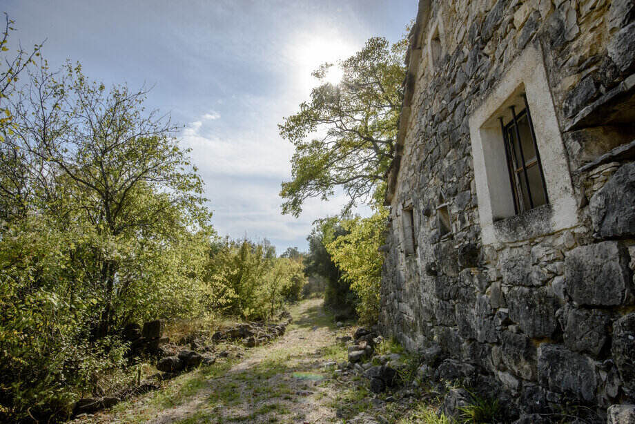
Returning further into the past, to the pre-industrial age, the Middle Ages, or even Roman times, testimonies to the traditional economy can be found. Mills propelled by water – water mills, along with hand grindstones, were the most widespread type of mill due to the multitude of rivers, streams, and canals to turn the drive wheel with paddles. Today, as valuable ethnographic monuments, they have been partly restored as display and catering facilities. Six watermills worked on the Roški slap waterfall up to the 1960s. In the first ones by the water, the so-called "Friar's Mills", or the watermills of the Visovac Monastery, all four mills were reconstructed, and a part of the building used for the millers and auxiliary rooms were converted to a catering facility, souvenir shop, and weaving workshop. The ruined watermill of the Miljevci Šoster family, just by the "Friar's mills", was rebuilt and faithfully reconstructed to bear witness to the work and life of millers.
When people began to buy flour to make bread, the millers shut down the two millstones, that had ground barley, wheat, and corn, driven by water for centuries. Today, coming down from Laškovica, we can again hear the water. Far from the technology upon which modern man so relies, walking through nature contemplating what the future bears, awe of the power of water and ancient skills arise. If we do not preserve the natural wealth we have, we will have to learn again from the beginning how to make the water run to our mill.


