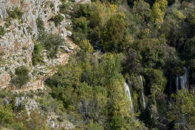
Roman road trail
Pješačka staza Rimski put DUŽINA 630 m VIDIKOVCI: START/END: Ivoševac Na parkiralište se dolazi iz Ivoševaca, iz smjera Kistanje – Knin Staza Rimski put Na
From its mouth, where the Krka River kissed the sea for the first time, to the fertile fields upstream from Brljan Lake, we have reached the last kilometer of the educational pedestrian paths of the Krka National Park. Here the route leads along the Promina (eastern) side of the river, through long dry-stone walls, to old watermills, washing stations and pools downstream from the Bilušića buk waterfall. Groves of hornbeam, oak, field maple, and ash make the river bank even more beautiful.
Man restrained the Bilušića buk waterfall four times with explosives (1834, 1895, 1953, and 1954) to protect Knin and its plain from flooding and malaria. This reduced the water level of the upstream course because of which Bobodolsko Lake, a few kilometers downstream from Knin, at the entrance to the canyon of the Krka River, was drained and turned into a plain. Its former bottom is now fertile fields and meadows. The Bilušića buk waterfall nonetheless has remained strong and forcefull enough to be heard considerably before it can be seen.
Above the Bilušića buk waterfall, the Krka flows calmly and quietly 1.5 kilometers from its source below Topoljski waterfall to the Čavlinov rapids. The Čavlinov rapids are the only real rapids on the Krka River, and can be reached by an abandoned path, 600 m from the hamlet of Marasovina. The Čavlinov rapids and Bilušića buk waterfalls reign alone in an almost 12 km long upper part of the Krka River canyon. The Knin – Zadar railway line has been incised into its right bank. Once these paths were used by children from the nearby villages in the Bukovica and Promina regions to go down to the river to swim. Today, the situation is less lively and more peaceful. Just as the Krka was briskly flowing through the canyon, here it calms down, bathing the surrounding rocks with freshness and greenery.
In plains upstream from of Brljan Lake, the local inhabitants grow potatoes, cabbage, grapes, and alfalfa. The river naturally fertilizes the land here with its deposits. In the small towns of the Promina and Bukovica regions you can certainly find a few charming places where you can rest after a walk and snack on some fine homemade foods. The continental and Mediterranean climates meet here. This contact between two worlds produces countless flowers and herbs with the most fragrant smells and aromas. Thyme, scurvy-grass, marjoram, or heather are distilled, according to careful recipes, with homemade eau-de-vie to which honey is added. Brandies and liqueurs distilled from plants in this area are beneficial for both health and beauty, but also for happiness. So, let us drink a toast to the educational pedestrian paths of the Krka National Park.

Pješačka staza Rimski put DUŽINA 630 m VIDIKOVCI: START/END: Ivoševac Na parkiralište se dolazi iz Ivoševaca, iz smjera Kistanje – Knin Staza Rimski put Na
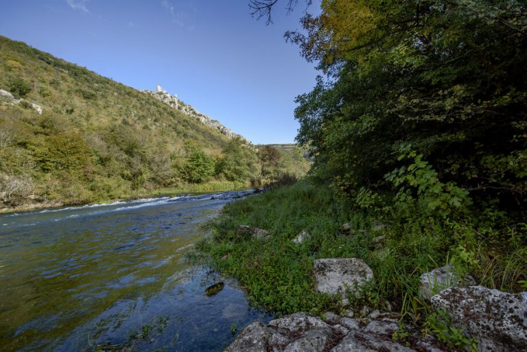
Pješačka staza Perice DUŽINA 1800 m VIDIKOVCI: START/END: Nečven Staza Perice Dolazak od Nečvena, na lijevoj obali, u smjeru Oklaj – Kistanje Automobile je moguće
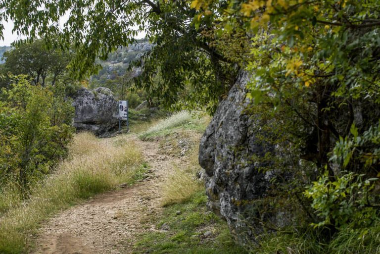
Pješačka staza Manojlovac DUŽINA 360 m VIDIKOVCI: START/END: Ivoševac Na parkiralište se dolazi iz Ivoševaca, iz smjera Kistanje – Knin Staza Manojlovac Na parkiralište se
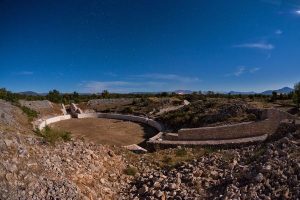
Krka Bike Trek 1 DUŽINA 11,4 km USPON 273 m TEŽINA 1/4 VIDIKOVCI: BURNUM START/END: PULJANE (centar za posjetitelje) N 44° 00’ 06.3” E 16°
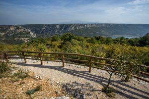
Krka Bike Road 1 DUŽINA 58,8 km USPON 1156 m VIDIKOVCI: KANJON ČIKOLE, ROŠKI SLAP, LAŠKOVICA START/END: SKRADIN (centar za posjetitelje) N 43° 49′ 01,5’’

Krka Bike MTB1 DUŽINA 25,8 km USPON 680 m TEŽINA 2/4 VIDIKOVCI: Žurića brdo, Brdo sv. Kate, Vukovića podi START/END: SKRADIN (centar za posjetitelje) N
Plan your vacation and explore the unknown treasures of the Krka River.
Person in charge of communication: Ivona Cvitan
E-mail: ivona.cvitan@npk.hr
| Cookie | Duration | Description |
|---|---|---|
| cookielawinfo-checbox-analytics | 11 months | This cookie is set by GDPR Cookie Consent plugin. The cookie is used to store the user consent for the cookies in the category "Analytics". |
| cookielawinfo-checbox-functional | 11 months | The cookie is set by GDPR cookie consent to record the user consent for the cookies in the category "Functional". |
| cookielawinfo-checbox-others | 11 months | This cookie is set by GDPR Cookie Consent plugin. The cookie is used to store the user consent for the cookies in the category "Other. |
| cookielawinfo-checkbox-advertisement | 1 year | The cookie is set by GDPR cookie consent to record the user consent for the cookies in the category "Advertisement". |
| cookielawinfo-checkbox-necessary | 11 months | This cookie is set by GDPR Cookie Consent plugin. The cookies is used to store the user consent for the cookies in the category "Necessary". |
| cookielawinfo-checkbox-performance | 11 months | This cookie is set by GDPR Cookie Consent plugin. The cookie is used to store the user consent for the cookies in the category "Performance". |
| elementor | never | This cookie is used by the website's WordPress theme. It allows the website owner to implement or change the website's content in real-time. |
| viewed_cookie_policy | 11 months | The cookie is set by the GDPR Cookie Consent plugin and is used to store whether or not user has consented to the use of cookies. It does not store any personal data. |
| Cookie | Duration | Description |
|---|---|---|
| _ga | 2 years | This cookie is installed by Google Analytics. The cookie is used to calculate visitor, session, campaign data and keep track of site usage for the site's analytics report. The cookies store information anonymously and assign a randomly generated number to identify unique visitors. |
| _ga_JE6JBWK5RM | 2 years | This cookie is installed by Google Analytics. |
| _gat_gtag_UA_204873174_1 | 1 minute | This cookie is set by Google and is used to distinguish users. |
| _gid | 1 day | This cookie is installed by Google Analytics. The cookie is used to store information of how visitors use a website and helps in creating an analytics report of how the website is doing. The data collected including the number visitors, the source where they have come from, and the pages visted in an anonymous form. |
| CONSENT | 16 years 4 months 19 days 3 hours 13 minutes | These cookies are set via embedded youtube-videos. They register anonymous statistical data on for example how many times the video is displayed and what settings are used for playback.No sensitive data is collected unless you log in to your google account, in that case your choices are linked with your account, for example if you click “like” on a video. |
| Cookie | Duration | Description |
|---|---|---|
| IDE | 1 year 24 days | Used by Google DoubleClick and stores information about how the user uses the website and any other advertisement before visiting the website. This is used to present users with ads that are relevant to them according to the user profile. |
| NID | 6 months | This cookie is used to a profile based on user's interest and display personalized ads to the users. |
| test_cookie | 15 minutes | This cookie is set by doubleclick.net. The purpose of the cookie is to determine if the user's browser supports cookies. |
| VISITOR_INFO1_LIVE | 5 months 27 days | This cookie is set by Youtube. Used to track the information of the embedded YouTube videos on a website. |
| YSC | session | This cookies is set by Youtube and is used to track the views of embedded videos. |
| yt-remote-connected-devices | never | These cookies are set via embedded youtube-videos. |
| yt-remote-device-id | never | These cookies are set via embedded youtube-videos. |
| yt.innertube::nextId | never | These cookies are set via embedded youtube-videos. |
| yt.innertube::requests | never | These cookies are set via embedded youtube-videos. |
Entrance tickets can be purchased here.

