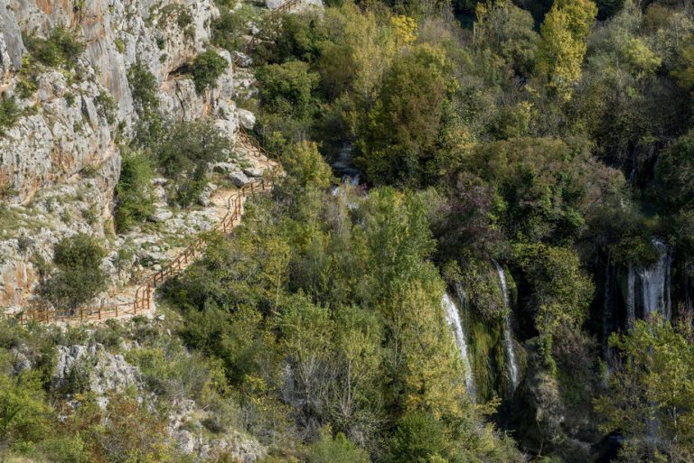
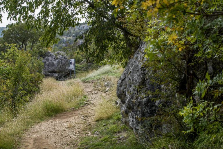
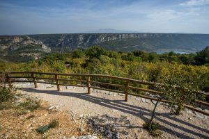
From the direction of Kistanje, via the village of Čučevo, the path leads towards the medieval Trošenj fortress. It is situated on the right bank of the Krka River, opposite the Nečven fortress. It was constructed by the noble Šubić family in the 15th century, to control the strategically important bridge crossing the Krka River. The trail to the fortress leads through a tame area where the influence of humans is visible, through centuries of coexistence with nature, and affecting the biodiversity of plant species through the cultivation of agricultural crops. Some of the most common crops are the walnut, fig, almond, wild cherry and white mulberry tree, pomegranate shrub and the grapevine. They are symbols of this region, and recognisable features of the landscape. The urban vegetation, in addition to crops, is also characterised by the ruderal plant species growing on uncultivated lands, along the edges of roads and fields and other habitats that are rich in nitrogenous compounds. These are cosmopolitan species that can be seen everywhere: blackberry, dog rose, mallow, ribwort plantain, amaranthus, sorrels, geraniums and galiums. They also line this trail that leads to the stone guardians over the Krka River.
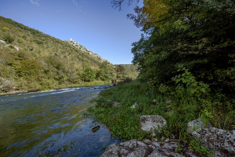
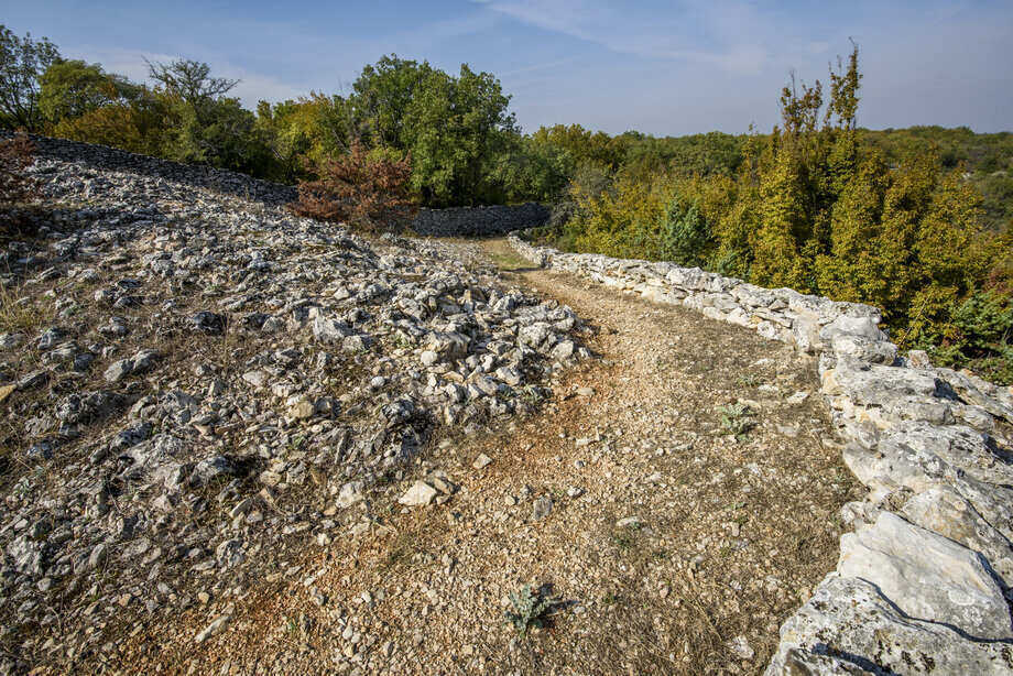
Surrounding the river are the dry rocky grasslands, that developed under the influences of extensive livestock raising or fires. In the grassland vegetation, the dominant woody species are the pubescent oak, Oriental hornbeam and Montpellier maple. The shrub layer is characterised by the scorpion senna, Jerusalem thorn and elmleaf blackberry. The ground layer vegetation is made up of wild asparagus, amethyst eryngo and winter savory. Due to the absence of grazing, these communities are in the process of succession towards forests and thickets of pubescent oak and Oriental hornbeam.
This trail, covering over five kilometres, connects the tiny villages around Kistanje, the central settlement in southeast Bukovica. Prior to 1854, there was just a single structure at Kistanje, a military barrack from the Venetian age, where the military troops would be stationed to oversee transport and inspect cattle on route from Knin to Zadar. From this function, at the crossroads of routes from Ravni kotari, Bukovica and Knin, a trading centre would evolve, and with it the administrative centre of eastern Bukovica. Today, Kistanje is a lively settlement. The primary school has 231 pupils, guaranteeing the future of this region, so rich in traces of ancient inhabitation, from the Illyrian and Roman ages to the Middle Ages.In this environment, the fortresses Trošenj, Čučevo or Bani-kule were built on the rock, from rock, and according to legend, the sword of a viceroy was buried under the tower. The fortress was irregularly shaped, with defensive walls, a round tower and residential quarters. Both fortresses standing above the canyon, Čučevo and Nečven, were raised at approximately the same elevation (243 and 242 m), and connected by a wooden bridge. There is no certain information as to when Trošenj was erected. It was mentioned in a document from 1437, but was likely built earlier. It was under Turkish rule until 1684, and was the headquarters of the ruthless Krka Captain Mehmed-beg Ljubunčić.


